
We start with the macro and then move into more details from multiple sources. If all of the models agree then we can have a fairly high confidence level. If they do not agree, or if the forecast has not been holding up with the real world over the past few days, then we become more sceptical.

It is always fun to take a look at the sky first thing in the morning. We are looking for moisture content, both down low and up high in the atmosphere. We are also looking at cloud structure, and observed winds at the surface and aloft.
We mix everything we see and feel together with our local knowledge which develops over time. The fun part, is to paint a picture of the day and then use all of the modern resources to create a forecast. At the end of the day we can look back and see if anyone or any model was right. Sometimes all of the forecast models and our observations agree. Like spokes that all connect to the center of a wheel.
Sometimes nothing makes any sense, and thus we leave ourselves an out, like all good weathermen, by describing the weather using terms like quantum mechanics, chaos theory, or as simple divine acts.
 Ultimately, we must do as many of the great glider pilots have learned to do. We must do what the Eagles, Hawks, and other great soaring birds have always done…
 “We must allow the day to present itself”…Paris Williams
Now on to the links.
 First, we begin with a GOES water vapor image and look for large scale patterns.
http://www.goes.noaa.gov/browsw3.html

Next, lets move in with a closer satellite view. Pick Pocatello and your choice of imagery. Animation can be a very helpful option.
http://www.wrh.noaa.gov/satellite/?wfo=pih
 Next, we confirm our understanding of the flow patterns we have seen in the satellite images by looking at the 500mb upper air chart (18,000′ foot.) The winds aloft flow parallel to the lines.
 This is also a good time to check out the Jet Stream
http://www.weatherimages.org/data/imag192.html

Another wind tool is available at http://adds.aviationweather.gov/winds/ Select your desired altitude and Type of data desired from the menu. Check out the streamlines plot as we move up the altitude selection. Once we get to 18,000 feet or the 500mb level most terrain effects are eliminated.
Now, let’s dial in our winds aloft knowledge with a look at PIH and DLN. http://aviationweather.gov/products/nws/fdwinds/dynamic/slc_fd1.shtml
King Mountain is between these two reporting stations, Pocatello Idaho and Dillon Montana, so we interpolate the values for our forecast and use the appropriate altitudes above sea level for our days flight. Get out the magic decoder ring! 2515-03 would be decoded as follows. The direction the wind is coming from is 250 degrees true at 15 knots of velocity. The temperature at this altitude would be minus 3 degrees Celsius. For temperature at high altitudes the +and – are omitted as it is always minus. 9900 in the direction/velocity group means light and variable. 7520 would mean winds in excess of 100 knots so we subtract 50 from the direction group to get 250 for a wind direction and add 100 to the velocity number to get 120kts.

Surface analysis charts (progs) are available at http://adds.aviationweather.gov/progs/
These charts will show us the current and future forecast locations of frontal boundaries and high and low pressure systems.
 Now let’s see what the National Weather service predicts for our area. http://forecast.weather.gov/MapClick.php?lat=43.733398628766096&lon=-113.36380004882812&site=pih&smap=1&marine=0&unit=0&lg=en
Weather experts will tell us that a forecast grows weaker over time. 1 day is generally OK. 2 days is only so,so. And 3 days and beyond …good luck. We should also ask ourselves… has the actual weather been following the forecast? If it has, we can have a higher confidence level in the future forecast. If the the actual weather has not been following the previous forecast, then our future forecasts must be questioned. Also remember that these guys are almost always right because they hedge their bets. For example, a summer forecast for the mountains of Idaho will generally state “partly cloudy with highs in the mid 80’s, winds 10 to 15 mph, slight chance of thunder storms and rain showers with localized gusty surface winds. ” Is there any way this forecast could be wrong?
This is also a great time to take a look at the atmospheric pressure being reported at nearby Hailey. Look on the right side of the page for the Current Conditions section. Pressure at 29.92″ is standard. Higher values such as 30.10″ are considered as higher pressure. Values such as 29.80″ are below the datum and are then low pressure. We can think of low pressure as an air mass that is moving upward, and conversely high pressure is air that is moving downward.

Another useful weather source is Launch Code at http://www.usairnet.com/cgi-bin/launch/code.cgi?Submit=Go&sta=KLLJ&state=ID This site has an interesting graphic representation of the days forecast and includes some surface wind predictions along with sky conditions and relative humidity. The location can be changed to any airport which has a terminal area forecast. This link will take you to Challis, Idaho located 70 miles north of King Mountain.

No great soaring forecast would be complete without a dose of the Doctor…Dr Jack’s” blipspot for King Mountain!
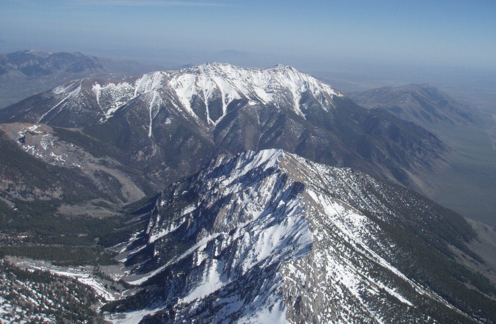
http://www.drjack.info/BLIP/RUC/SPOT/FCST/kingmountain_id.txt ” If you are not a regular visitor to Dr. Jack’s website press the enter button and you will be directed to the blipspot. Please keep in mind that the blipspot forecast assumes a larger scale smoothed topography. The blipspot will not take into account localized effects such as the magnitude of King Mountain and the power that it can generate. Thermal strengths more than double the blipspot forecast are not uncommon above King Mountain and the enormous mountain ranges nearby.
For a short course of Dr Jack’s weather knowledge check out… http://www.drjack.info/BLIP/INFO/parameter_details.html#Wstar

For a cosmic tour into Dr. Jacks world check out his national soaring forecast website at http://www.drjack.info/BLIP/NAM/index.html Just click on to your desired region, in our case the pink Pacific Northwest area, and scroll down to the forecast section. Select one of the freebees available at the top of the list.
For registration and subsription info to Dr. Jacks go to http://www.drjack.info/