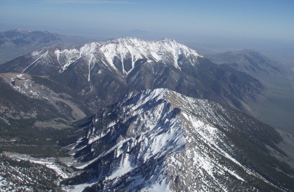
King Mountain is in the center of the the Great West! 2-hours-to-king1    


Idaho Road Map     

Base Map by World Sites Atlas at http://www.sitesatlas.com/
idaho-road-map-noted1


King Mountain!
King Mountain!


The Glider Park entrance is at  3237 W  3400 N   Moore, ID 

Ouch, the Bridge Fell Down
 
The crooked bridge suffered a collision with a pickup truck this last winter. Nobody was hurt but the crooked bridge is completely out of commission. Everyone both big and small will now have to drive the blue route from Hill Road until the new bridge is built. Stay tuned, the new bridge may be up and running by the Safari but it is a big project. Construction has just begun. We will let folks know if the big new bridge is in prior to the Safari. When it is up and running, the “big rigs” will have an easy drive in from Highway 93. Excellent! 

When northbound on US 93 from Arco 


Drive 7 miles north from Arco into the little town of Moore, Idaho.  At Jensen Storage make an easy right turn onto County Road 3350 W.  Look for the famous Hang Glider Launch sign.  Proceed north from Moore 1.2 miles to the intersection of county road 3300 N.  Turn right (east) on this paved road and proceed 2 miles towards King Mountain and the Yield Sign at the intersection of Hill Road (some maps call this King Mountain Road.) Look for a big yellow cattle guard with huge tires on each side.  Directly above the cattle guard we can see the road to the King Mountain Launch Sites. 

Here the pavement ends. Turn left and proceed north along Hill Road 1.3 miles until reaching another road intersection which swings left onto 3400 N.  This gravel road continues west down a shallow grade and across a small canal. It then turns back south for a few hundred feet until turning again west.  Drive 1/10th of a mile west until reaching the Main Entrance.
   

When southbound on US 93 from Mackay 

Drive 17 miles southeast from Mackay into the little town of Moore, Idaho. At the light green colored storage building, and the main intersection in town, make a left turn all the way back around to the north onto county road 3350 W.  Proceed north from Moore 1.2 miles to the intersection of county road 3300 N.  Turn right (east) on this paved road and proceed 2 miles towards King Mountain and the Yield Sign at the intersection of Hill Road (some maps call this King Mountain Road.) Look for a big yellow cattle guard with huge tires on each side.  Directly above the cattle guard we can see the road to the King Mountain Launch Sites. 


Here the pavement ends. Turn left and proceed north along Hill Road 1.3 miles until reaching another road intersection which swings left onto 3400 N.  This gravel road continues west down a shallow grade and across a small canal. It then turns back south for a few hundred feet until turning again west.  Drive 1/10th of a mile west until reaching the Main Entrance.

Adventure Intersection!    


8dfgddgl5